
MARJAL
Marjal of Gandia is part of a larger environmental unit known as Marjal de la Safor, which with a total area of 1,225.34 hectares encompasses the municipalities of Tavernes de la Valldigna, Xeraco, Xeresa and Gandia.
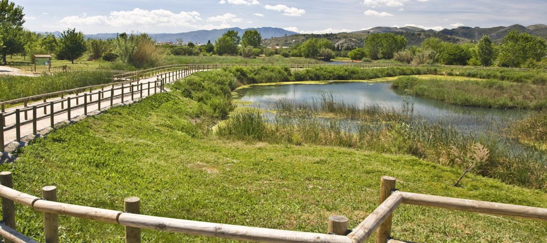
Marjal of Gandia alone occupies a total of 450 hectares, which represents 37% of the total area of Marjal de la Safor. Geomorphologically, it is a humid area developed in a coastal plain. It presents little depth due to the natural and anthropic clogging of the sheets of water.
The water contribution of this ecosystem comes from groundwater, which gets to the surface through springs (ullals). These are natural sources that put aquifers in contact with the surface. It should also be noted that surface waters are part of the present water supply to the marsh, but on a smaller scale.
This mass of fresh water is separated from the Mediterranean Sea by a coastal cord that forms a sandy barrier built on the basis of the contributions of alluvium from the rivers. The marine currents of drift are then responsible for distributing this cord in the infralittoral and coastal zone along the NS axis.
Click and pull the cursor to watch the video in different angles.